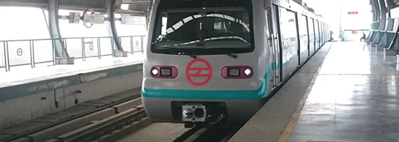
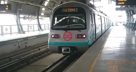
Green Line or Line 5 was the first line to be constructed under Delhi Metro’s Phase II. The Green Line metro route runs between Inderlok, Delhi, and Brigadier Hoshiar Singh station in Haryana.
Quick Info
- Inaugurated on: 3 April 2010
- Number of Stations: 24 Stations and 1 Interchange
- Timings: 5:30 am to 11:30 pm
- Ticket Price: Rs.10 to Rs.60
- Places to Stay: Hotels in New Delhi
Green Line Metro Interesting Facts
- Like the Blue Line (Line 3/4), the Green Line also functions as two individual sections — main line from Inderlok to Brigadier Hoshiyar Singh in Bahadurgarh (26.3 km; 21 stations) and a branch line from Kirti Nagar to Ashok Park Main (3.3 km; 3 stations).
- The section of the line, where it travels above the Punjabi Bagh flyover, ground-level road, and underpass, is one of the highest points of the Delhi Metro.
- The frequency on the line is generally 4 minutes, but it can vary depending on the time of day, whereas the top speed of the trains remains constant at 80 km/h.
- It is also the first line on the system to use 1435 mm (standard gauge) tracks; the electrification is the same as for the rest of the system — 25 kV AC through overhead wires.
Stations on Green Line
Main Line
| Station | Interchange/Connections | Nearby Accommodation | |
| English | Hindi | ||
| Kirti Nagar | कीर्ति नगर | Blue line | Hotels in Kirti Nagar |
| Satguru Ram Singh Marg | सतगुरु राम सिंह मार्ग | ||
| Inderlok | इंद्रलोक | Red Line | Hotels near Ashok Vihar |
| Ashok Park Main | अशोक पार्क मेन | Green Line (Branch Line) | |
| Punjabi Bagh | पंजाबी बाग | Pink Line | Hotels in Punjabi Bagh |
| Punjabi Bagh West | पंजाबी बाग वेस्ट | ||
| Shivaji Park | शिवाजी पार्क | ||
| Madipur | Madipur | ||
| Paschim Vihar East | पश्चिम विहार पूर्व में | ||
| Paschim Vihar West | पश्चिम विहार पश्चिम | Hotels in Paschim Vihar | |
| Peera Garhi | पीरा गढ़ी | Hotels in Peeragarhi | |
| Udyog Nagar | उद्योग नगर | ||
| Surajmal Stadium | सूरजमल स्टेडियम | ||
| Nangloi | नांगलोई | ||
| Nangloi Railway Station | नांगलोई रेलवे स्टेशन | ||
| Rajdhani Park | राजधानी पार्क | ||
| Mundka | मुंडका | ||
| Mundka Industrial Area | मुंडका औद्योगिक क्षेत्र | ||
| Ghevra | घेवरा | ||
| Tikri Kalan | टिकरी कलां | ||
| Tikri Border | टिकरी बॉर्डर | ||
| Pandit Shree Ram Sharma | पंडित श्री राम शर्मा | ||
| Bahadurgarh City | बहादुरगढ़ सिटी | ||
| Brigadier Hoshiyar Singh | ब्रिगेडियर होशियार सिंह | ||
Further Extension of Green Line
There are plans to extend the main line further southwards from Brigadier Hoshiyar Singh, all the way to the industrial city of Rohtak, thereby adding 24 stations.
Top Attractions Connected by Green Line
| Attraction | Nearest Station | Distance from Nearest Station (Km) |
| Punjabi Bagh Market | Shivaji Park | 0.8 |
Other Delhi Metro Lines: Red | Yellow | Violet | Orange | Magenta | Grey | Blue | Pink | Rapid Metro
Book Now: Budget hotels in Delhi, Couple Friendly Hotels in Delhi, 3 Star Hotels in New Delhi
FAQs
Q. How many metro stations are there on the Green Line?
A. There are 24 stations on the Green Line of the Delhi Metro with 1 interchange.
Q. Which is the 1st station on the Green Line metro in Delhi?
A. Kirti Nagar and Brigadier Hoshiyar Singh are the initial stations on both ends of the route line.
Q. Which is the most popular station on the Green Line metro in Delhi?
A. Punjabi Bagh, Peeragarhi, Nangloi, and Inderlok are some of the popular stations on the Green Line of Delhi Metro.
Q. Who made the Green Line metro in Delhi?
A. Delhi Metro Rail Corporation (DMRC) manages all the operations of the Delhi Metro.
Q. Which is the cleanest metro line in Delhi?
A. The Delhi Metro has made significant efforts to maintain cleanliness by implementing regular cleaning schedules, and waste management systems, and educating passengers about maintaining cleanliness inside the trains and stations.
Q. Which metro line is the longest in Delhi?
A. The Pink Line is the longest with 59 km and 38 stations. The Green Line Metro covers a total distance of 29.64 km and is one of the shortest route lines on the network.
Q. Where is the fastest metro in Delhi?
A. The 23 kilometres-long Airport Express Line is the fastest Metro connection in India providing seamless connectivity from the New Delhi Railway Station to Dwarka Sector 21 through IGI Airport Terminal-3 and Aerocity.
Q. Which is the shortest Delhi Metro line?
A. The shortest line in Delhi Metro is the Grey Line with a distance of 5.19 km with 4 stations.
Q. What is the timing of the first train from a Green Line in Delhi?
A. The first train departure time on the Green Line of the Delhi Metro is 5:30 am.
Q. What is the timing of the last train from the Green Line in Delhi?
A. The last train departure time on the Green Line of the Delhi Metro is 11:30 pm.